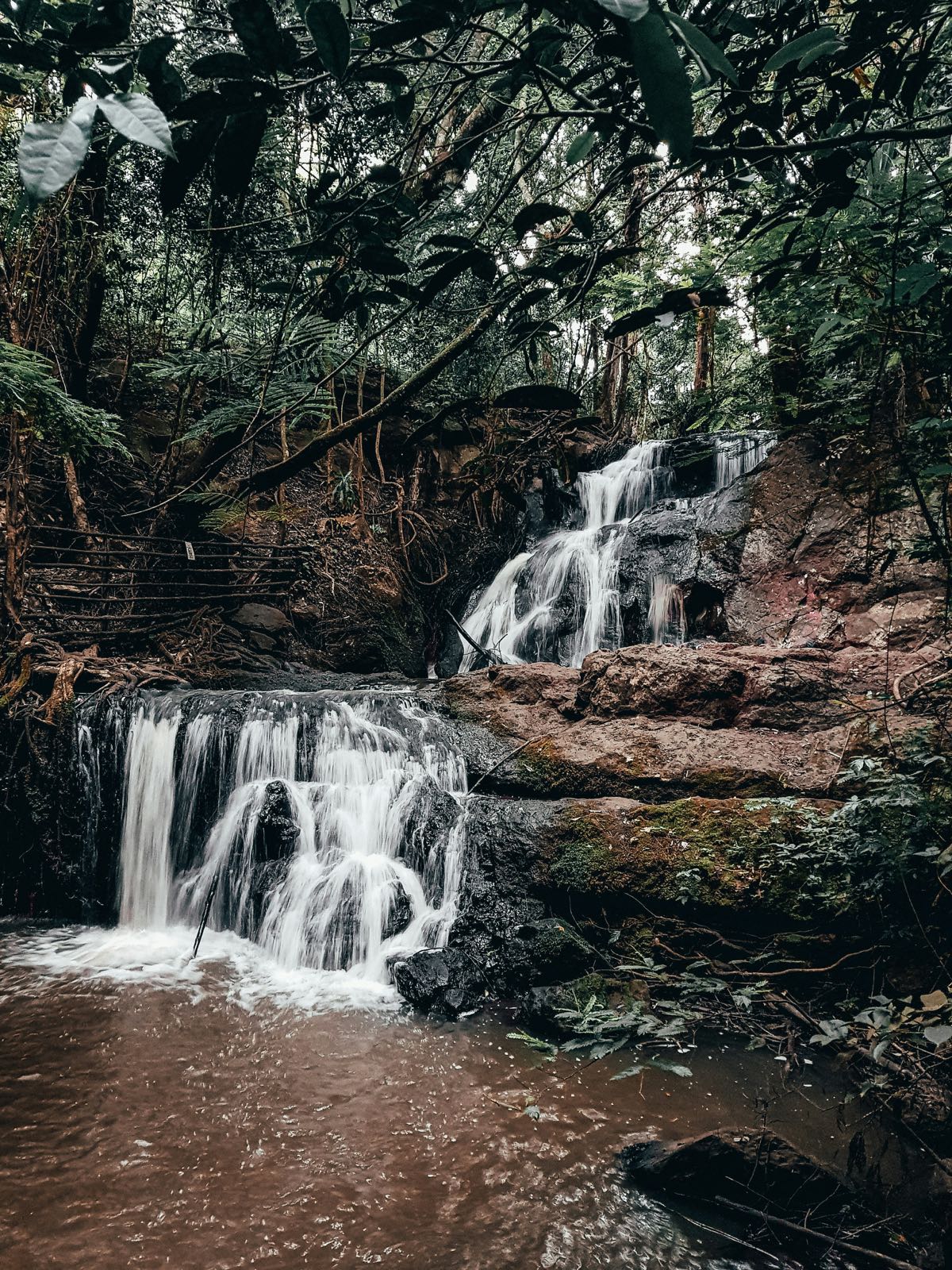
The Aberdare Range runs 160km north–south through central Kenya’s highlands, averaging 3,000–3,500m above sea level. The range combines dense montane forest, bamboo zones, moorland, and high alpine heath - a complex ecosystem almost entirely different from the savanna parks that most visitors associate with Kenya.
Trekking in the Aberdares is less developed and less crowded than Mount Kenya. The landscape is extraordinary - giant lobelia and groundsel rising from misty moorland, waterfalls dropping into forested gorges, and the prospect of wildlife encounters including buffalo, elephant, and black-and-white colobus at altitude.
Trekking Routes
Gura Falls
The most ambitious day trek in the Aberdares for visitors who don’t have time for an alpine summit. Gura Falls at approximately 300m is one of the highest waterfalls in Africa. The route descends from the moorland road into the Aberdare forest to reach the falls.
Trailhead: Off the central moorland circuit road, approximately 15km from Kiandongoro Gate. Arrange with your gate ranger to meet a walking guide here.
Distance and time: Approximately 8–10km return, 3–4 hours. The descent into the gorge is steep and can be muddy - trekking poles recommended. The trail involves river crossings.
Wildlife en route: Colobus monkeys, elephant (be aware - guides know current movement), various forest birds.
Chania Falls
Considerably easier than Gura - a short walk from the Fishing Lodge area in the park’s Salient section. The Chania River drops approximately 30m into a forested pool.
Search hotels in Kenya on Booking.com
Access: 5–10 minutes walk from vehicle access point near the Fishing Lodge. No technical equipment required. Good for visitors who want a taste of Aberdare forest without a full day’s commitment.
Best time to visit: After moderate rains when flow is high. The dry season reduces volume significantly.
Karura Falls
In the Salient section (east side of the park, near Treetops), Karura Falls drops 30m. Accessible by a short walk from the vehicle track. Less dramatic than Gura but more easily combined with a Treetops/Ark visit.
Ol Donyo Lesatima Summit (4,001m)
The northern Aberdares’ highest point is an alpine trek that requires a full day and alpine fitness. The summit sits on open moorland at 4,001m with views over the Laikipia Plateau and Rift Valley when clouds allow.
Route: From the Ruhuruini Gate area (west approach), the trek crosses moorland to the summit. Your KWS guide knows the route - the moorland is featureless in mist and navigation is difficult without local knowledge.
Duration: 6–8 hours return from a vehicle access point. An early start (6am) is essential to avoid afternoon mist.
Conditions: Temperatures at the summit drop to 0–5°C even in the dry season. Wind is constant. Bring full waterproof and warm layers regardless of weather at the gate.
Wildlife at altitude: Eland and reedbuck on the open moorland. Serval and African wildcat at the forest–moorland transition. The summit rocks support sunbirds.
Elephant Corridor Walk (Bamboo Zone)
A guided forest walk through the Aberdare bamboo zone - habitat for bongo (rare, but present), giant forest hog, and elephant. This is wildlife-focused walking rather than summit or waterfall trekking. Best done from a Salient-area base.
Note: This walk involves genuine wildlife encounter risk - elephants and buffalo are present. Only undertaken with an experienced KWS ranger. Not suitable for large groups (maximum 4–6 per guide).
Guided Walks: Logistics
Mandatory guide: All trekking inside the park requires a licensed KWS ranger guide. The guide is both a safety necessity (wildlife awareness) and a legal requirement.
Arranging a guide:
- At any of the park gates (Kiandongoro, Ruhuruini, Mutubio)
- Through Aberdare Country Club (they organise guided walks for guests and day visitors)
- Through KWS’s Nyeri Office (for advance booking: +254 61 2030052)
Guide fees: Approximately KES 1,500–3,000/day, depending on the route and duration. Agree in advance.
Vehicle access: Most trekking trailheads require driving on the park’s internal roads to reach. A 4WD is essential for the central moorland roads (particularly Ruhuruini to Kiandongoro).
Getting to the Aberdares
From Nairobi:
- Nyeri (155km, 2.5 hours by car) is the main gateway town. Matatu from Nairobi (KES 400–600, 2.5–3 hours).
- From Nyeri to Kiandongoro Gate: approximately 30km southeast, 45 minutes by car.
- From Nyeri to Mutubio Gate (Salient entrance for Treetops area): approximately 15km.
Accommodation before trekking:
- Nyeri town: several guesthouses from KES 3,000/night (Green Hills Hotel, Central Park Hotel)
- Aberdare Country Club (outside the park near the Salient, approximately USD 150/night)
Entry Fees
Approximately USD 35 per adult non-resident per day (KWS rate as of 2026). The guide fee is additional. Paid online at kws.go.ke or at the gate. For the wildlife side of the Aberdares, see our Aberdare National Park guide. Guided Kenya highland tours combining the Aberdares with Mount Kenya are available from Nairobi operators if you prefer a fully arranged trip.
What to Bring
- Full waterproof jacket and trousers (mist and rain likely)
- Warm mid-layer (temperature drops to 5–12°C even on clear days)
- Sturdy waterproof hiking boots
- Trekking poles (essential for the Gura Falls descent)
- At least 2 litres of water
- Snacks for a full-day trek
- First aid kit
- Headlamp if summit trekking (early starts)
Best Time
January–February and July–October are the driest months - clearest views and least muddy trails. The moorland is always potentially wet underfoot regardless of season.
April–May (long rains): Waterfalls are at maximum flow but trails are very muddy and moorland roads may be impassable. Not recommended for plateau or summit trekking.
Green season (November–March): Beautiful lush forest, birds are active, some rain possible but often just afternoon showers.
Combining with Mount Kenya
Many trekkers combine Aberdare and Mount Kenya in a 5–7 day highland circuit. From Nyeri: 1–2 days in Aberdare, then drive east 50km to Naro Moru or Nanyuki for Mount Kenya. The two ranges contrast sharply - Aberdare’s dark forest and moorland versus Mount Kenya’s exposed rocky peaks and glaciers. See our complete Mount Kenya trekking guide for the full route breakdown. For the Nyeri area base, the Nyeri city guide covers accommodation and access options. For wildlife in the Aberdare ecosystem, see the Aberdare wildlife guide.